|
International Symposium on
Space Geodesy and Earth System
(SGES2012)
August 18-21, 2012, Shanghai, China
http://www.shao.ac.cn/meetings
|
|
Background & Objectives
Mass redistribution and transport in the Earth system, including the atmosphere, hydrosphere, lithosphere,
cryosphere and the interior of the solid Earth affect the Earth's shape, gravity field and rotation (the three pillars of geodesy).
Space geodetic techniques, including VLBI, SLR, DORIS, GNSS, InSAR, LiDAR, ICESat, satellite radar and laser altimetry,
satellite gravimetry (particularly CHAMP/GRACE/GOCE) and GNSS Reflectometry & Radio Occultation, are capable
of measuring and monitoring such small changes with high accuracy and spatial-temporal resolution. These provide
a unique opportunity to investigate mass transport associated with geodynamics, natural hazards, and climate change,
and to better understand these processes and their interaction within the Earth system.
The International Symposium on ˇ°Space Geodesy and Earth Systemˇ± will be a forum for assessing current technological
capabilities and presenting recent results of space geodetic observations and understanding the physical processes
and coupling in the Earth system, and future impacts on climate. Topics include data retrieval of space geodetic
techniques, reference frame, atmospheric-ionospheric sounding and disturbance, gravity field, crustal deformation
and earthquake geodesy, GIA, Earth rotation, hydrological cycle, ocean circulation, sea level change, and ice sheet
mass balance as well as their coupling in the Earth system.
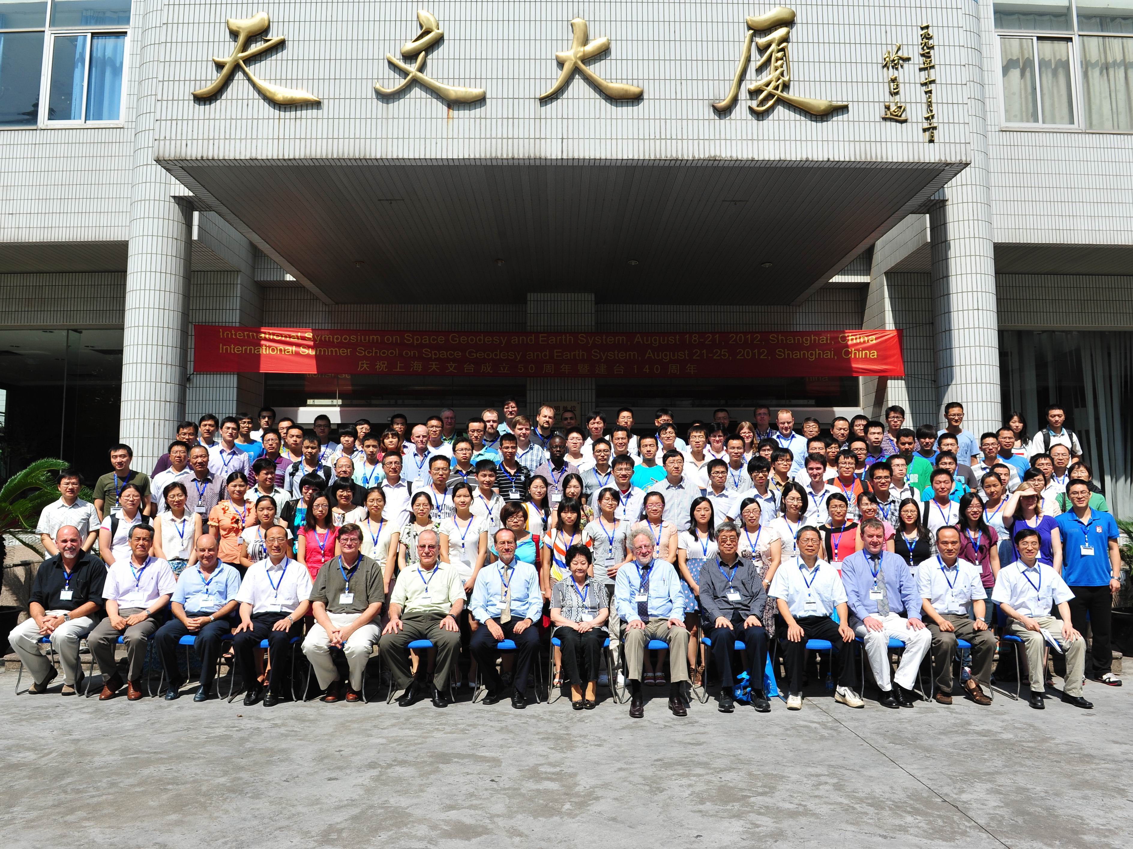
Part of participants Photos
|
All Rights Reserved by SHAO, January 2012

|
|
|